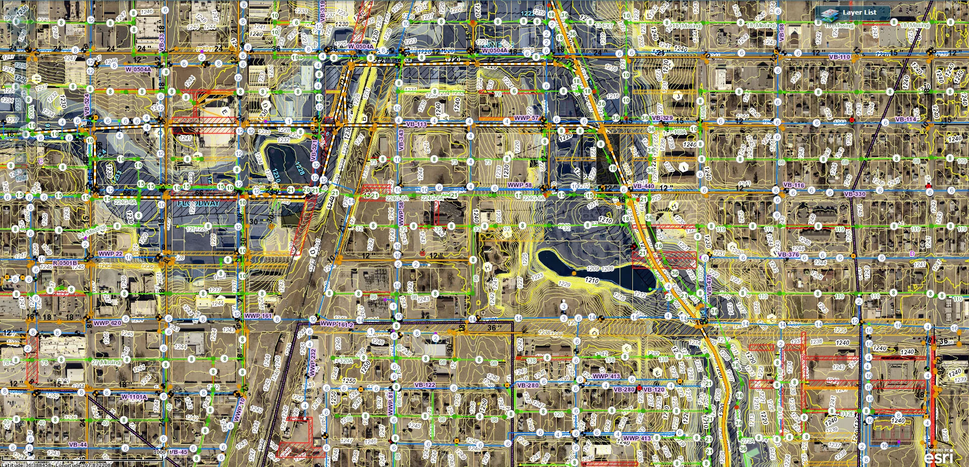
GIS Services
The mission of our GIS department is to provide geospatial support to cities, state agencies, counties, rural water districts, and corporate partners. Our GIS department is powered by a diverse staff of GIS professionals with over 100 years of combined GIS experience. We are a Silver Partner with Esri, and have been providing GIS services for over 24 years.
Our GIS team specializes in:
GIS Program Startup
Standby/On-Call Support
GPS Data Collection
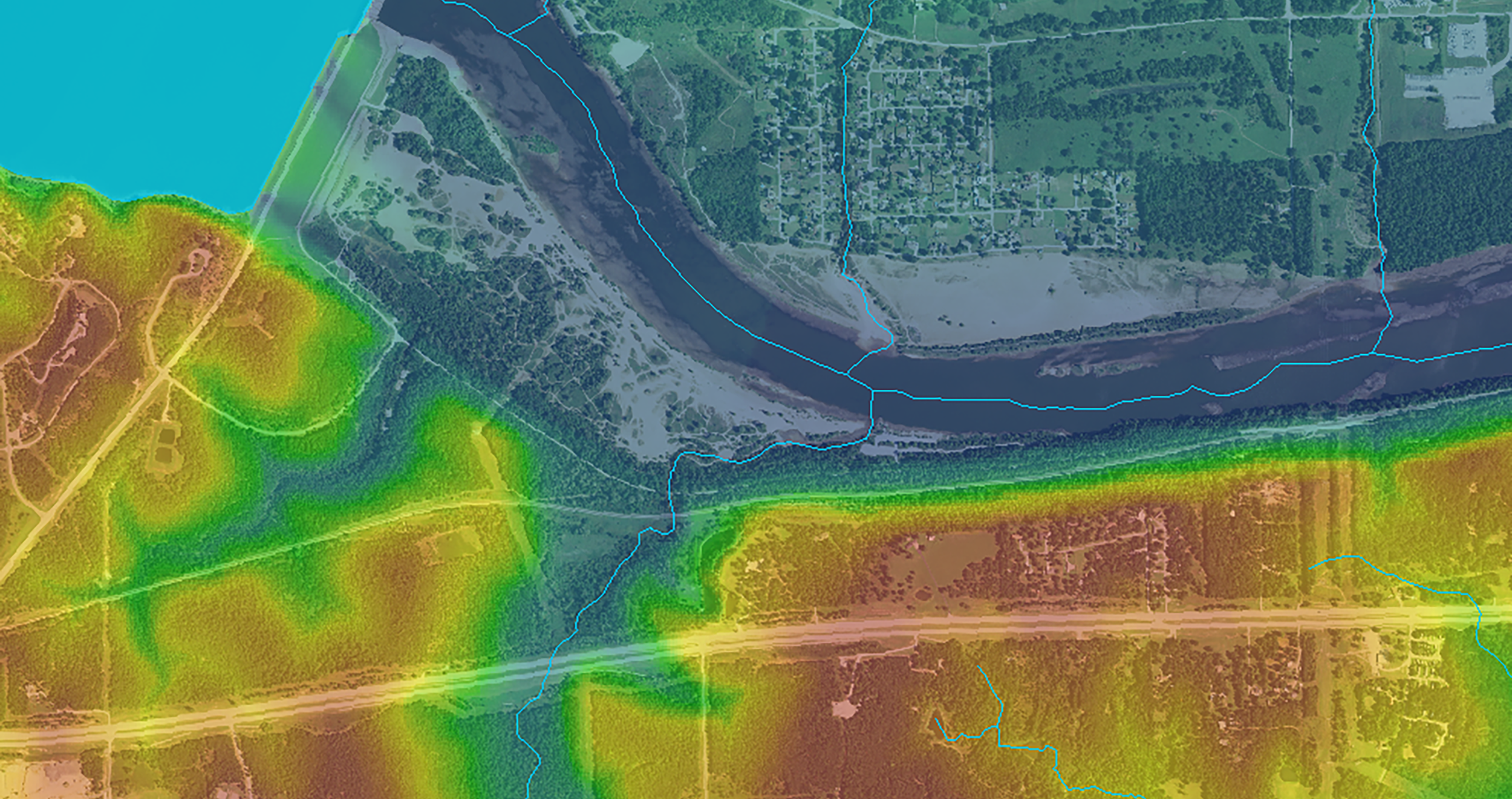
Utility Mapping & Assessment
As-built Plan Conversion
Easement & Zoning Mapping
Publishing and Managing
Web-based GIS ServicesStaff Training

From collecting and analyzing data to setting up management dashboards, new systems, or making existing systems work together, Meshek’s GIS Team can help you get it done.
Read our case study in ArcNews on using GIS and mobile solutions for asset management: “Using GIS for Asset Inspections Pays Off When It Matters Most” - ArcNews (Summer 2023)