Zoning Map Updates and ArcGIS Online Setup
City of Atoka, Oklahoma
As recently as 2019, the City of Atoka had only a paper map from the year 2000 for their zoning. Nearly 20 years of zoning changes had never made their way into a single updated map, or one in digital format.
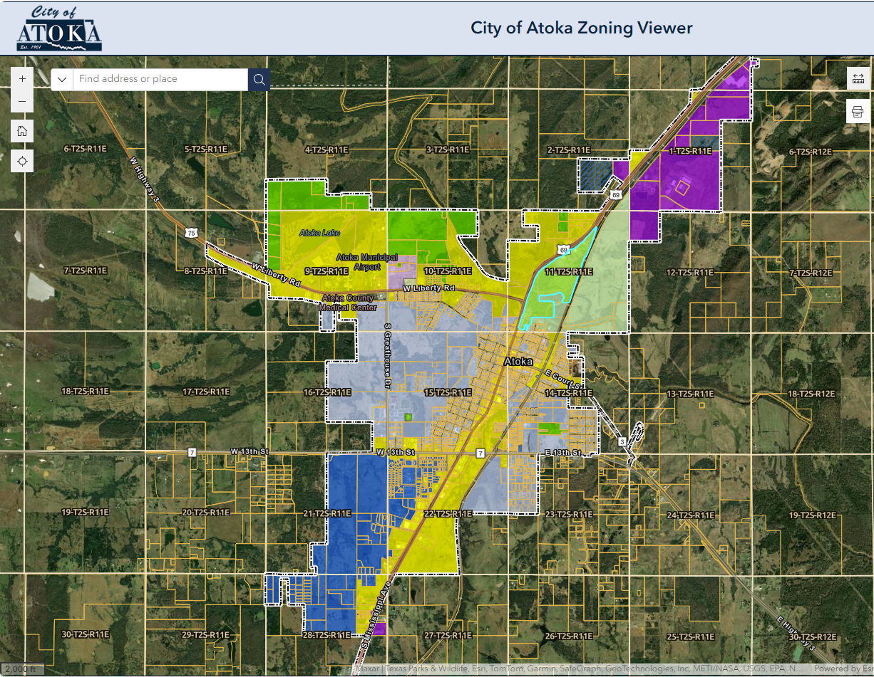
The City contracted with Meshek to digitize the old zoning map, and to update it with the zoning changes missing from the map. The ordinance documents were attached to each polygon for reference.
Eventually it became apparent that having this information in their own ArcGIS Online account would be beneficial. In 2023, Meshek coordinated setting Atoka up with their own licensing and deploying their organization. We then transferred their zoning and other layers, and deployed web maps and applications for them.
A public zoning map was published, to reduce the need for all zoning questions to be handled by City staff directly, which was an essential time savings. We also set up a private editable application, so City staff could maintain the map without us, and provided training and support on the use of the application and ArcGIS Online. Their information is now online, and accessible by inspectors in the field and the public.

