Tulsa CRS
City of Tulsa, Oklahoma
As one of only two Class 1 communities in the nation, The City of Tulsa’s CRS program is large and complex. GIS had been a key element in maintaining the prior Class 2 designation, which the City held for years. In 2020, Tulsa made an added push to achieve Class 1. This would allow flood insurance policy holders in the City to obtain a 40% discount on their flood insurance premiums.
The City of Tulsa requested assistance from Meshek in its final submittal. Meshek provided oversight of tasks to be completed and documented for ISO, and led City staff along with other consultants and stakeholders in monitoring progress.
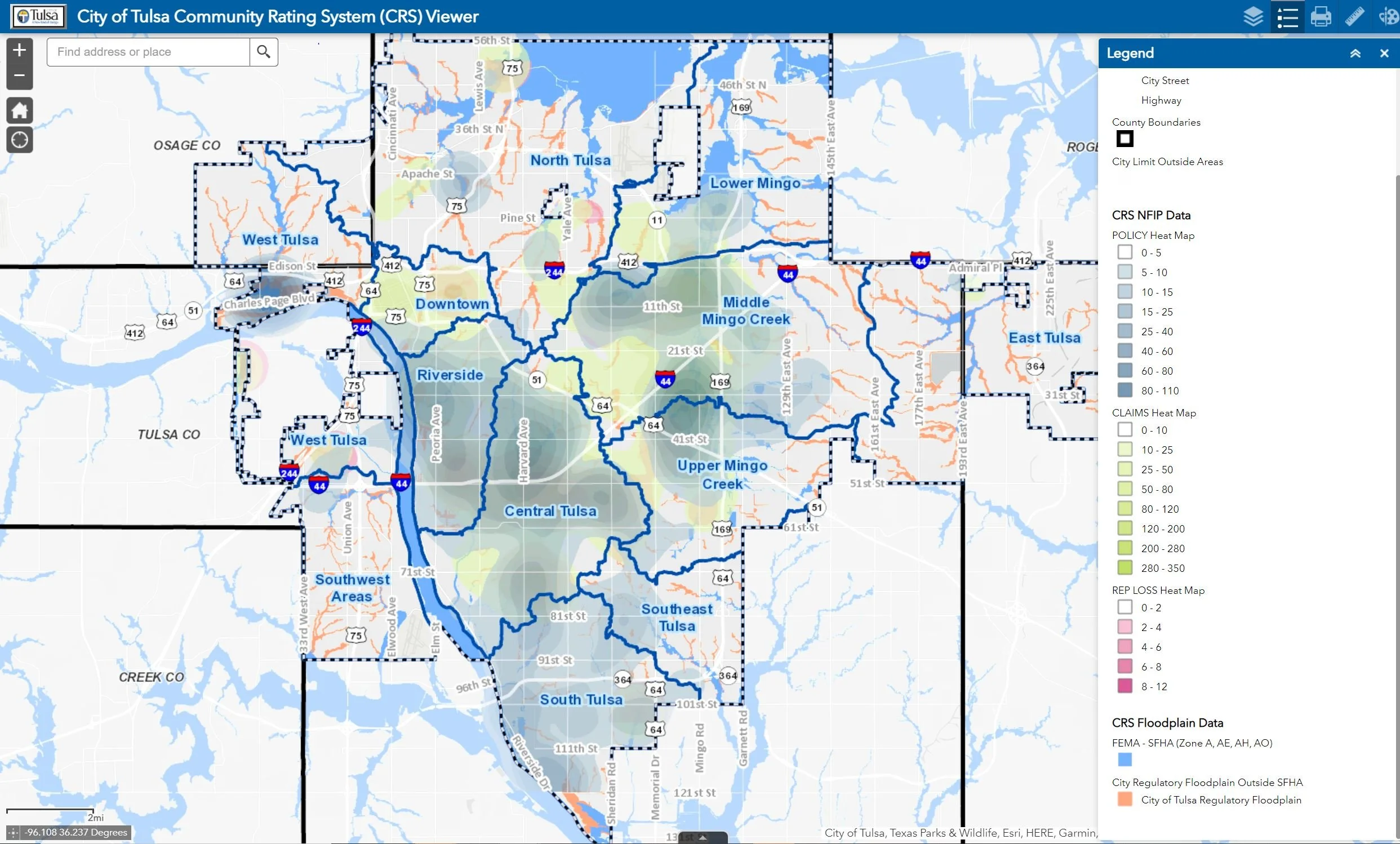
GIS reporting came most into play in the Series 400, 500, and 600 elements of the submittal. These required mapping for open space coverage and preservation, repetitive loss area identification, local master drainage plan floodplain mapping, and flood impact mapping for tabletop exercises.
These elements were reported in traditional figures as well as an online Dashboard (which contains some elements that can’t be shared publicly). This continues the tradition begun with the City Hazard Mitigation Plan update of using online GIS applications to communicate and understand key risk data.

