Master Drainage Plan (Phase 1)
Town of Locust Grove, Oklahoma
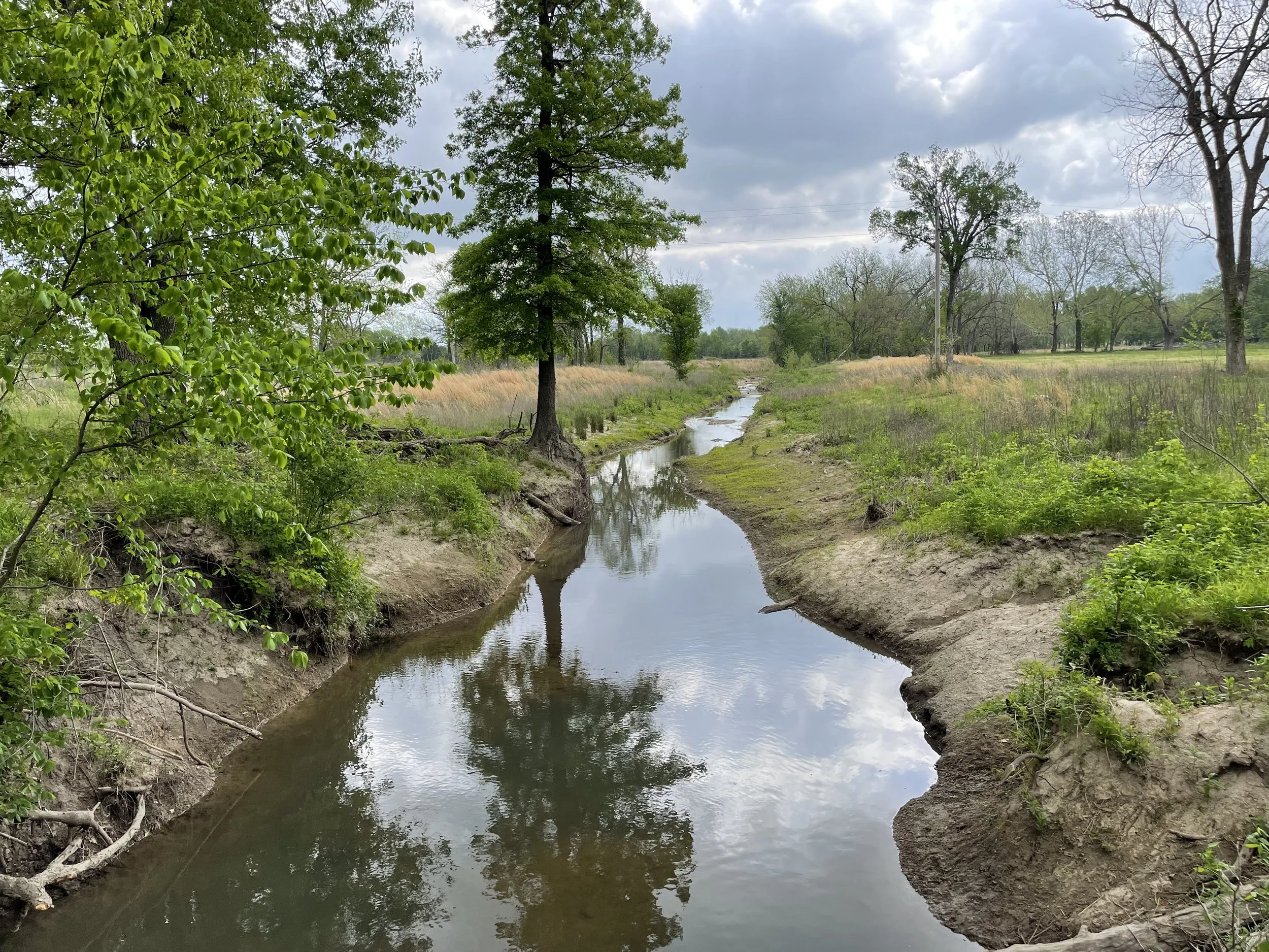
The Town of Locust Grove has a FEMA-mapped Zone A floodplain through the center of town, along the Crutchfield Branch. This floodplain has been on the maps since 2003. Being a Zone A, it provides no base flood elevations to allow officials or property owners to regulate according to flood depths; its extent also does not correspond to the local experience of the nature of flooding in the area. In 2023, Locust Grove selected Meshek to perform a phased Master Drainage Plan to better evaluate the nature of flood risks in the area.
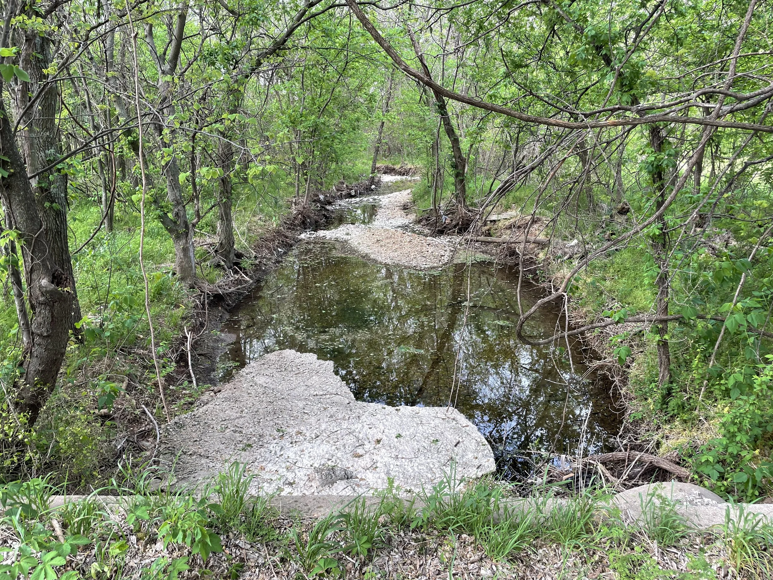
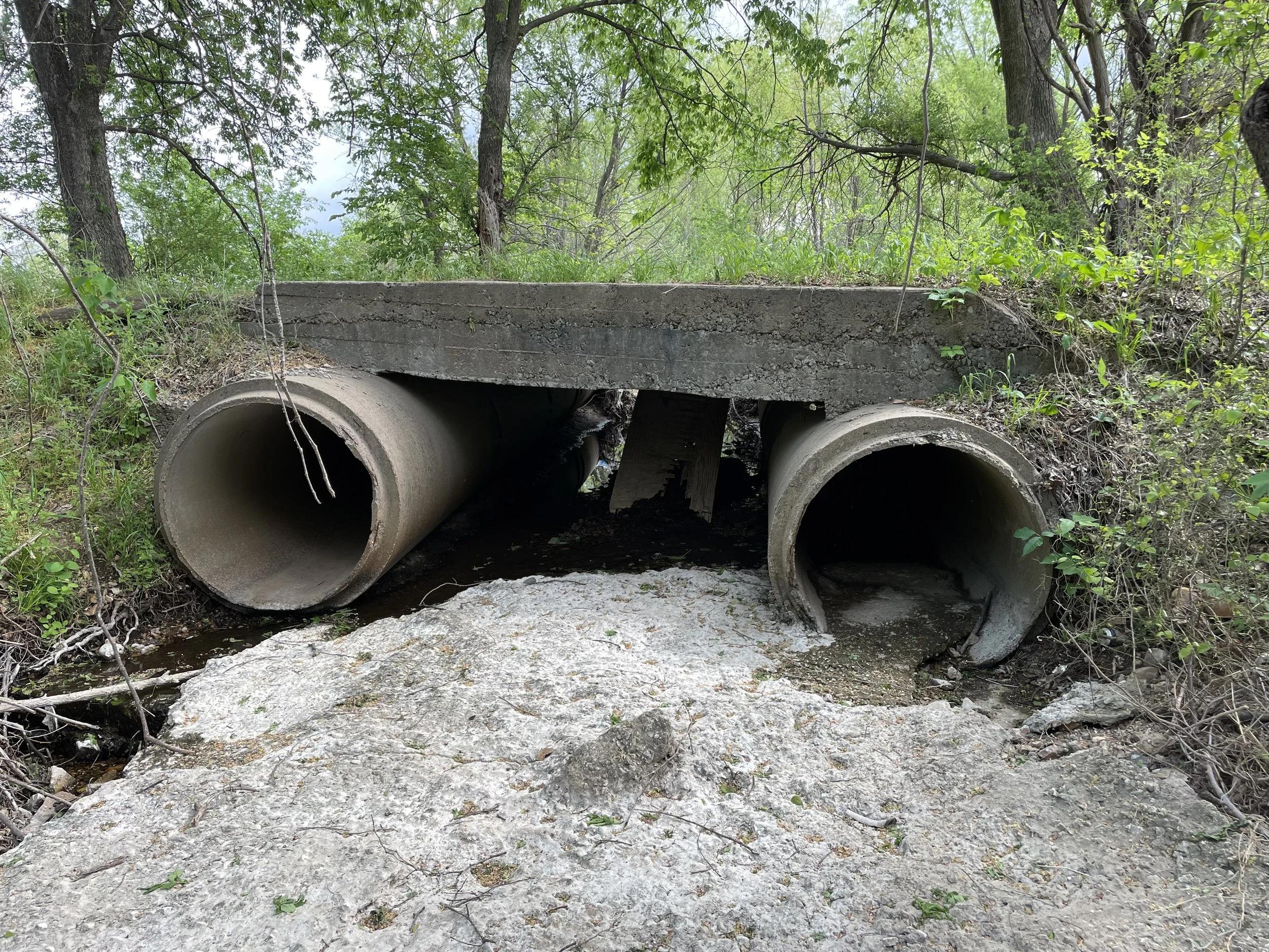
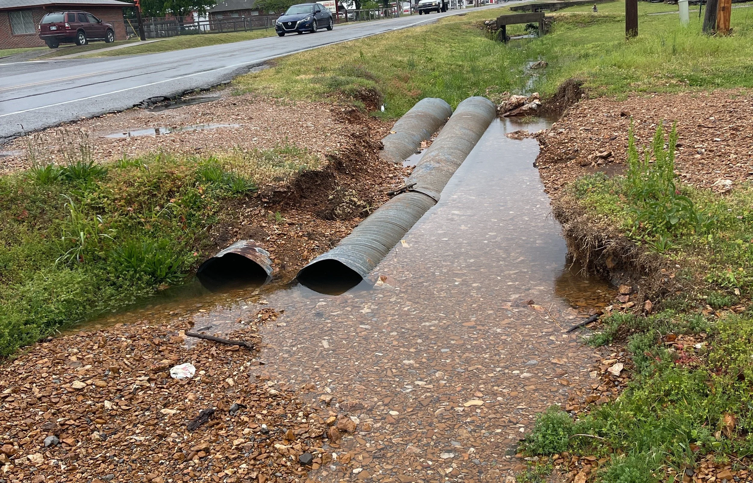
A survey of structures in the area was performed, and 2D modeling was used to refine the modeling of the flooding in the area. This study included an analysis of four problem areas around town and provided a range of design alternatives to mitigate the flood risk, as well as recommendations to submit a Letter of Map Change (LOMC) and to pursue future grant funding to assist in paying for these improvements.


