Collinsville GIS Setup and ArcGIS Solutions Deployment
City of Collinsville, Oklahoma
The City had utility information in multiple separate locations and formats. Some were not mapped at all, while others weren’t accurate or up-to-date. None could be used in the field, or by multiple people at the same time.
A simple mapping update and digitization effort could have sufficed, considering the City’s limited budget. This would have left the higher need of internal information access and update capacity unmet, however.
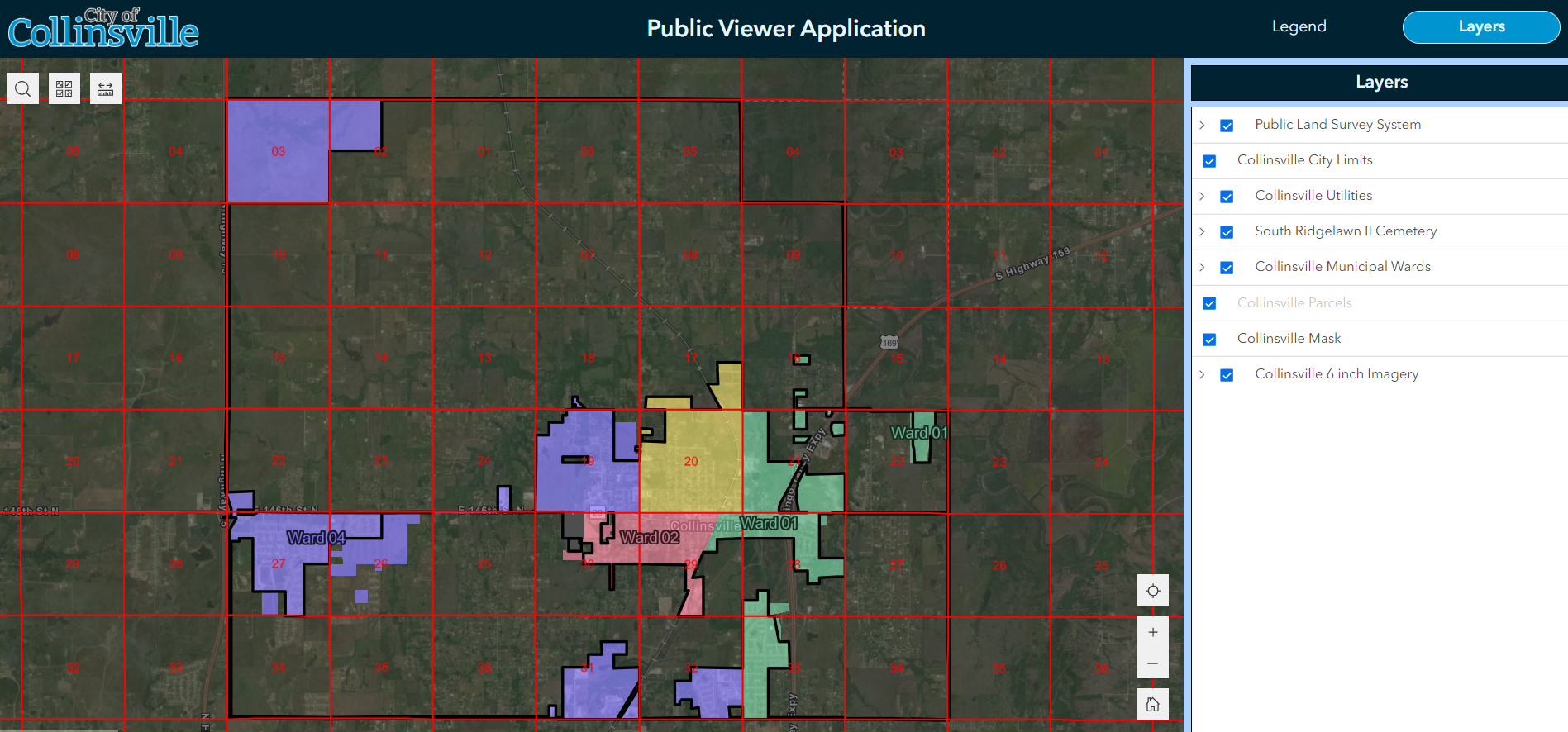
In 2022, we advised the City to obtain ArcGIS Online (their first Esri subscription). We aided them in deploying and configuring it to house their maps, data, and apps from day one. The City had live access to their mapping as the project progressed.
This effort ultimately comprised ten focused applications; the extraction and conversion of non-standard and non-GIS data into Solution-driven formats for Water, Sewer, Stormwater, Electric, and Cemetery; Field Maps for field data collection; and the input of as-built utility plans. We provided remote and in-person training so City staff can maintain the system themselves. The work has since included two follow-up agreements to build and refine more data as funding has become available, based on the early success of the initial project.


