Altus GIS Setup and ArcGIS Solutions Deployment
City of Altus, Oklahoma
Before implementing ArcGIS, the City of Altus’ municipal information was outdated, disconnected, and hard to use. The City relied on outdated utility atlases, an asset database with no spatial relationship, and a non-Esri online map. Beginning in 2018, we worked with them to find the best way to improve their system within their limited budget.
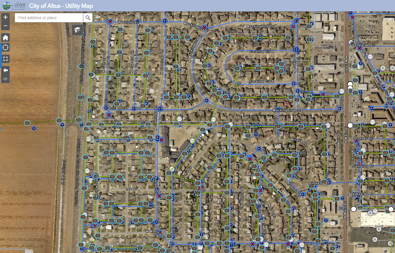
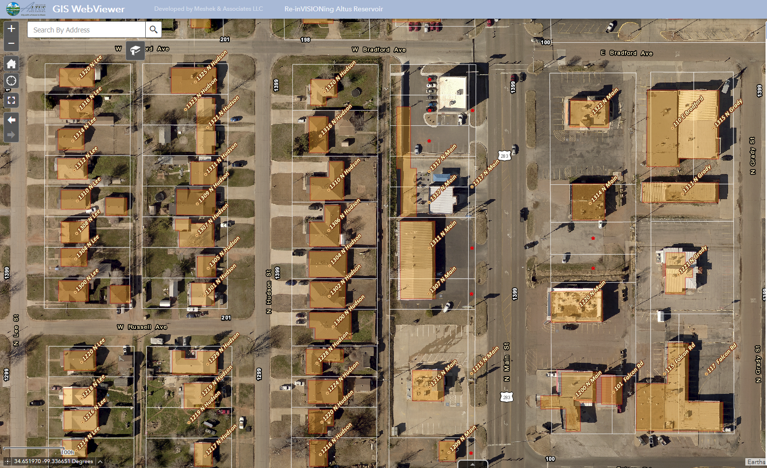
After an expedited needs assessment, together we began converting and updating their non-GIS data into more current and reliable GIS information. They left their non-Esri online map platform for ArcGIS Online. We then deployed Solutions in their environment using Hub sites for their key needs in Water, Storwmwater, Sewer, Electric Distribution, and Address Data Management. We also configured a public facing Hub site for public information such as zoning and floodplain maps.
In the years since, we have provided updated locations of Stormwater infrastructure using Esri’s mobile field apps, and augmented their staff for heavy effort data builds. City staff are now updating their existing municipal datasets themselves and increasing their license count. They recently used their web apps themselves to inventory and assess their Stormwater outfalls for environmental regulatory reporting.


